A series of storms headed for the south coast of B.C. are expected to dump varying amounts of snow and wind to Vancouver Island.
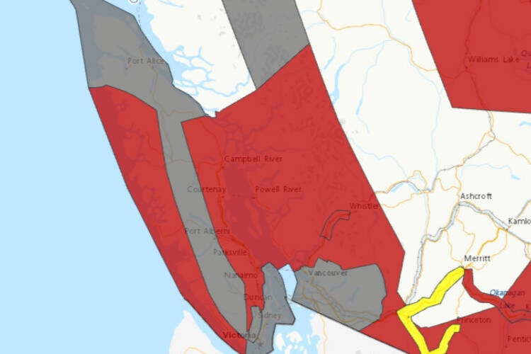
Monday (Jan. 8) and Tuesday could be stormy for the entire Island with the east coast of the mid-Island under a snowfall warning, issued by Environment Canada.
READ ALSO: Heavy snow expected for coastal B.C., Environment Canada warns
Five to 10 cm is expected with heavy snow anticipated over higher terrain and inland sections as a strong frontal system approaches Monday. Closer to sea-level, a mix of rain and snow is more likely with snowfall accumulations of two to four centimetres.
The west coast of the Island will face strong winds late Monday through Tuesday, according to Environment Canada. Strong southwesterly winds of 60 gusting 80 km/h are expected late Monday, shifting to stronger westerly winds Tuesday morning. Those winds could guts to 100 km/h. Winds will become northwesterly Tuesday morning and continue at 80 km/h gusting to 100 through Tuesday.
Black Press Media spoke with meteorologist Armel Castelan from Environment Canada about the wind and snowfall warnings for Vancouver Island and Greater Vancouver for Monday, Jan. 8.
READ ALSO: Snow is in the forecast for Greater Victoria as temperatures drop
Cold weather is in the forecast next week. ❄️🌨️
— Saanich Emergency Program (@SaanichEP) January 5, 2024
Proactively prepare and visit the linked shared by @saanich below.
Want to learn more? Check out the @PreparedBC Winter Weather and Storm Preparedness Guide: https://t.co/lujVIA9ySr https://t.co/YboCJnJtDW
